tóng-àn:Canada labelled map.svg

Choân kái-sek-tō͘ (SVG ùng-giông, chék-cháung: 1,304 × 1,263 chuông-só, ùng-giông duâi-nâung:123 KB)
|
|
Che sī tùi Wikimedia Commons ín--lâi ê chi̍t hūn tóng-àn. I tī hia ê kì-su̍t-ia̍h téng-bīn ê chu-sìn hián-sī ùi ē-té. |
| Soat-bêng |
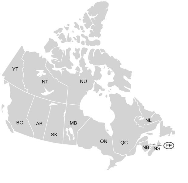
English: SVG map of Canada labelled with province names
Non-contiguous parts of a states/provinces are "grouped" together with the main area of the state/provinces, so any state/provinces can be coloured in completion with one click anywhere on the state/provinces's area. Also, all states/provinces have a "id" attached to them, making them easy to find. Select "find" and then enter in the state/provinces's ISO 3166-2 code in the "id" field to find it. The codes can be found here (Canada) and here (USA). |
| Ji̍t-kî | 03-07-2007 edited 8-Aug-2007 |
| Chhut-chhù |
|
| Chok-chiá | Lokal_Profil image cut to remove Canada and move Alaska closer by Paul Robinson |
| 授權允准 (Bô siŏh-huòi sāi ciā ùng-giông) |
此檔案採用創用CC 姓名標示-相同方式分享 2.5 通用版授權條款。
|
| 其他版本 |
Labelled US map.svg same map with state labels, Blank US Map.svg similar map with inset versions of Alaska and Hawaii (as opposed to actual size, which is what appears here) Original blank map of USA and Canada, That image with labels, Original USA/Canada map with labels, Canada blank map.svg blank map of Canada |
Tóng-àn le̍k-sú
Chhi̍h ji̍t-kî/sî-kan, khoàⁿ hit sî-chūn--ê tóng-àn.
| Ji̍t-kî/Sî-kan | 細張圖 | 寸尺 | Iōng-chiá | Chù-kái | |
|---|---|---|---|---|---|
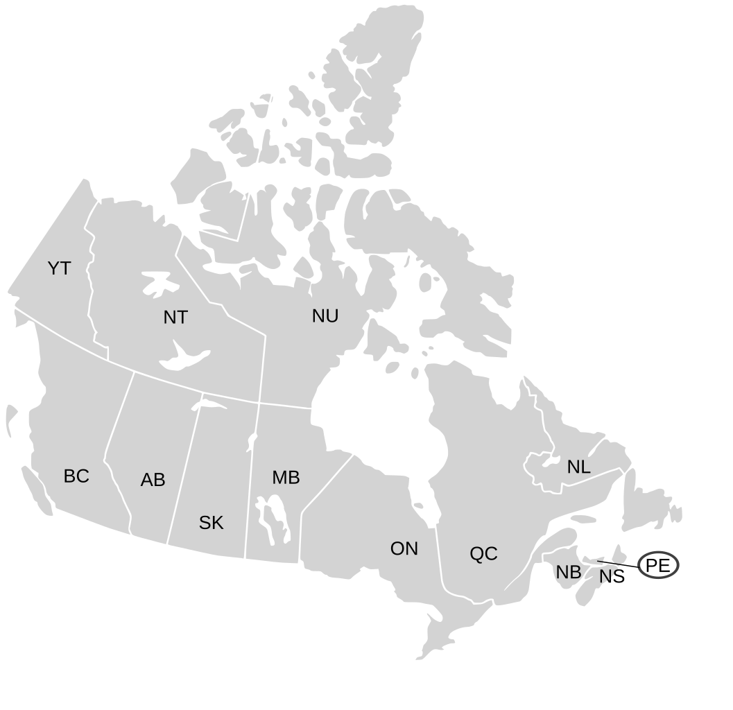
| hiān-chāi | 2009-nî 1-goe̍h 7-ji̍t (pài-saⁿ) 19:07 | | 1,304 × 1,263(123 KB) | Lokal Profil | Fixed NS (Nova Scotia) / NB (New Brunswick) issue |
| 2007-nî 8-goe̍h 9-ji̍t (pài-sì) 21:20 |  | 1,304 × 1,263(123 KB) | Rfc1394 | {{Information |Description={{en|SVG map of Canada labelled with province names}} Non-contiguous parts of a states/provinces are "grouped" together with the main area of the state/provinces, so any state/provinces can be coloured in completion with one cli |
Iáⁿ-siōng liân-kiat
Í-hā ê ia̍h liân kàu chit ê iáⁿ-siōng:
tóng-àn hō͘ lâng sái--ê chōng-hóng
Ē-kha--ê kî-thaⁿ wiki ēng tio̍h chit--ê tóng-àn:
- ca.wikipedia.org hō͘ lâng ēng--ê chêng-hêng
- en.wikipedia.org hō͘ lâng ēng--ê chêng-hêng
- eo.wikipedia.org hō͘ lâng ēng--ê chêng-hêng
- es.wikipedia.org hō͘ lâng ēng--ê chêng-hêng
- ja.wikipedia.org hō͘ lâng ēng--ê chêng-hêng
- lt.wikipedia.org hō͘ lâng ēng--ê chêng-hêng
- mk.wikipedia.org hō͘ lâng ēng--ê chêng-hêng
- no.wikipedia.org hō͘ lâng ēng--ê chêng-hêng
- sv.wikipedia.org hō͘ lâng ēng--ê chêng-hêng
- tr.wikipedia.org hō͘ lâng ēng--ê chêng-hêng
- zh.wikipedia.org hō͘ lâng ēng--ê chêng-hêng