tóng-àn:Leidschendam-voorburg-leidschendam.PNG

Seng khoàⁿ chiàm-liōng: 800 × 511 siōng-sò͘. Kî-thaⁿ--ê kái-sek-tō͘: 320 × 204 siōng-sò͘ | 640 × 409 siōng-sò͘ | 839 × 536 siōng-sò͘.
Choân kái-sek-tō͘ (839 × 536 siōng-sò͘ , tóng-àn chiàm-liōng: 19 KB, MIME luī-hêng: image/png)
|
|
Che sī tùi Wikimedia Commons ín--lâi ê chi̍t hūn tóng-àn. I tī hia ê kì-su̍t-ia̍h téng-bīn ê chu-sìn hián-sī ùi ē-té. |
| Soat-bêng | |
| Ji̍t-kî | 2006年12-goe̍h3日 (原始上傳日期) |
| Chhut-chhù | Transferred from nl.wikipedia to Commons. |
| Chok-chiá | 原上傳者為荷蘭文Wikipedia的Michiel1972 |
| 授權允准 (Bô siŏh-huòi sāi ciā ùng-giông) |
STATISTICS NETHERLANDS MAP. |
Siū-khoân

|
本檔案的著作權持有者,Centraal Bureau voor de Statistiek,在註明所有人姓名的前提下,允許任何人使用本檔案於任何用途。包含再散布、衍生作品、商業用途及其他用途。 |
Biĕu-sê miàng-sáng:
|
原始上傳日誌
The original description page was here. All following user names refer to nl.wikipedia.
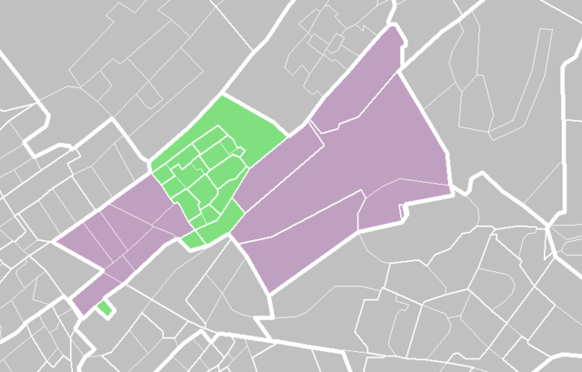
- 2006-12-03 07:14 Hanhil 839×536× (19700 bytes) De wijk [[Park Leeuwenbergh]] hoort ook bij Leidschendam. Aanpassing van de kaart van Michiel1972 {{CBS-wijkkaart}}
- 2006-12-03 07:12 Hanhil 839×536× (19700 bytes) {{CBS-wijkkaart}} De wijk [[Park Leeuwenbergh]] hoort ook bij Leidschendam Aanpassing van de kaart van Michiel1972
- 2006-03-18 16:55 Michiel1972 839×536× (29077 bytes) {{CBS-wijkkaart}}
Tóng-àn le̍k-sú
Chhi̍h ji̍t-kî/sî-kan, khoàⁿ hit sî-chūn--ê tóng-àn.
| Ji̍t-kî/Sî-kan | 細張圖 | 寸尺 | Iōng-chiá | Chù-kái | |
|---|---|---|---|---|---|
| hiān-chāi | 2009-nî 2-goe̍h 13-ji̍t (pài-gō·) 13:36 | | 839 × 536(19 KB) | BotMultichill | {{BotMoveToCommons|nl.wikipedia}} {{Information |Description={{nl|''no original description''}} |Source=Transferred from [http://nl.wikipedia.org nl.wikipedia] |Date=2006-12-03 (first version); 2006-03-18 (last version) |Author=Original uploader was [[: |
Iáⁿ-siōng liân-kiat
Í-hā ê ia̍h liân kàu chit ê iáⁿ-siōng:
tóng-àn hō͘ lâng sái--ê chōng-hóng
Ē-kha--ê kî-thaⁿ wiki ēng tio̍h chit--ê tóng-àn:
- arz.wikipedia.org hō͘ lâng ēng--ê chêng-hêng
- ca.wikipedia.org hō͘ lâng ēng--ê chêng-hêng
- it.wikipedia.org hō͘ lâng ēng--ê chêng-hêng
- nl.wikipedia.org hō͘ lâng ēng--ê chêng-hêng
- uk.wikipedia.org hō͘ lâng ēng--ê chêng-hêng
- vo.wikipedia.org hō͘ lâng ēng--ê chêng-hêng
- www.wikidata.org hō͘ lâng ēng--ê chêng-hêng