tóng-àn:Schaumburg 2 S of Woodfield.jpg
Seng khoàⁿ chiàm-liōng: 798 × 600 siōng-sò͘. Kî-thaⁿ--ê kái-sek-tō͘: 320 × 240 siōng-sò͘ | 639 × 480 siōng-sò͘ | 833 × 626 siōng-sò͘.
Choân kái-sek-tō͘ (833 × 626 siōng-sò͘ , tóng-àn chiàm-liōng: 90 KB, MIME luī-hêng: image/jpeg)
|
|
Che sī tùi Wikimedia Commons ín--lâi ê chi̍t hūn tóng-àn. I tī hia ê kì-su̍t-ia̍h téng-bīn ê chu-sìn hián-sī ùi ē-té. |
Khài-iàu
| Soat-bêng |
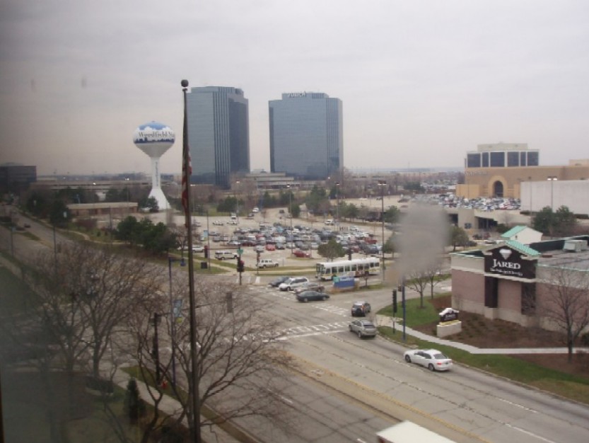
English: Schaumburg: NW across Woodfield Rd. at Mall Dr., across Woodfield Mall SW parking lot, with water tower to the left; Zurich/executive highrises on Plaza Dr in background |
| Ji̍t-kî | 2007年3-goe̍h22日 (原始上傳日期) |
| Chhut-chhù | Ka-tī chò--ê: Scampster user photo, digital camera, free use, public domain. |
| Chok-chiá | User:Kidsheaven |
| 拍攝地點 | | 位於此地的本圖片與其他圖片: OpenStreetMap |
|---|
Siū-khoân
| 此作品已由其作者,Kidsheaven,釋出至公有領域。此授權條款在全世界均適用。 這可能在某些國家不合法,如果是的話: |
原始上傳日誌
Transferred from en.wikipedia to Commons using FtCG.
The original description page was here. All following user names refer to en.wikipedia.
| Date/Time | Dimensions | User | Comment |
|---|---|---|---|
| 23:21, 22 March 2007 | 833 × 626 (92,120 bytes) | w:en:Kidsheaven (thó-lūn | kòng-hiàn) | (Scampster user photo, digital camera, free use, public domain.) |
Tóng-àn le̍k-sú
Chhi̍h ji̍t-kî/sî-kan, khoàⁿ hit sî-chūn--ê tóng-àn.
| Ji̍t-kî/Sî-kan | 細張圖 | 寸尺 | Iōng-chiá | Chù-kái | |
|---|---|---|---|---|---|
| hiān-chāi | 2012-nî 1-goe̍h 17-ji̍t (pài-jī) 04:20 | | 833 × 626(90 KB) | Closeapple | Transferred from en.wikipedia: see original upload log above |
Iáⁿ-siōng liân-kiat
Í-hā ê ia̍h liân kàu chit ê iáⁿ-siōng:
tóng-àn hō͘ lâng sái--ê chōng-hóng
Ē-kha--ê kî-thaⁿ wiki ēng tio̍h chit--ê tóng-àn:
- ceb.wikipedia.org hō͘ lâng ēng--ê chêng-hêng
- en.wikipedia.org hō͘ lâng ēng--ê chêng-hêng
- fy.wikipedia.org hō͘ lâng ēng--ê chêng-hêng
- pt.wikipedia.org hō͘ lâng ēng--ê chêng-hêng
- ru.wikipedia.org hō͘ lâng ēng--ê chêng-hêng
- sr.wikipedia.org hō͘ lâng ēng--ê chêng-hêng